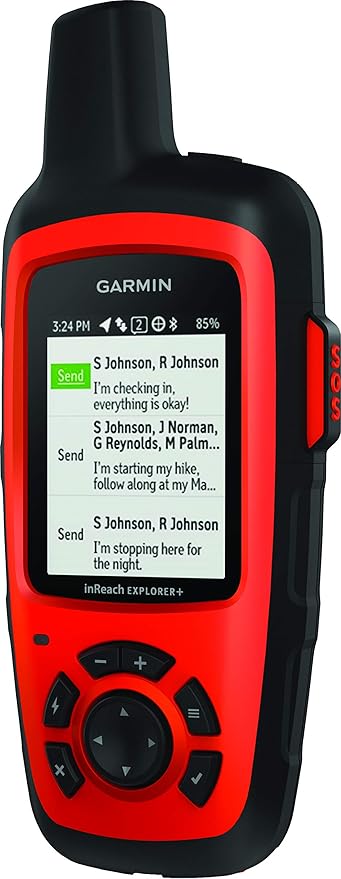
Garmin Inreach Explorer Plus
Mapping software to support navigation – In addition to the device, you get access to the “Explore” account, which lets you manage your devices, subscriptions, linked social accounts, contacts, and all of that, but also allows you to use a mapping tool through which you can upload waypoints, routes, and tracks as well as download tracks you make while moving in the field. So, you can pre-program important locations and routes, then use the “navigate” feature on the device to follow these routes and/or move to the next waypoint.
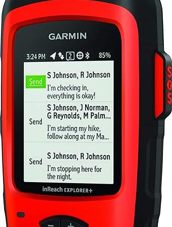
Pre-programmed messages and contact lists – You can build a library of preset messages and contacts from within the device or from within the “Explore” account, online.
Weather forecasts – You can get a “basic” (48 hour) forecast or a “premium” forecast (7 day forecast) sent to your device, as well as a “marine” forecast that includes wave heights, currents, and visibility.
Rugged Exterior – The exterior is rubberized, and therefore able to handle inclement weather. The Explorer+ withstands incidental exposure to water of up to 1 meter for up to 30 minutes. So, as long as you keep the thing in a pocket or a pack, you won’t have any issues taking the device out to use it, even during a torrential downpour.
And yes, you can pair with your phone or tablet – I just choose not to for the battery saving and cold weather reasons I describe in the video. For those of you who are really hung up on the screen size or button/keyboard limitations, you can bluetooth connect to a phone or tablet running IOS or Android, and then use the Earthmate App for larger maps, etc. as well as use your connected device as the keyboard.


Reviews
There are no reviews yet.